Harnessing Digital Twins: Transforming Urban Infrastructure Planning for Smarter, Safer Cities

Photo by john Applese on Unsplash
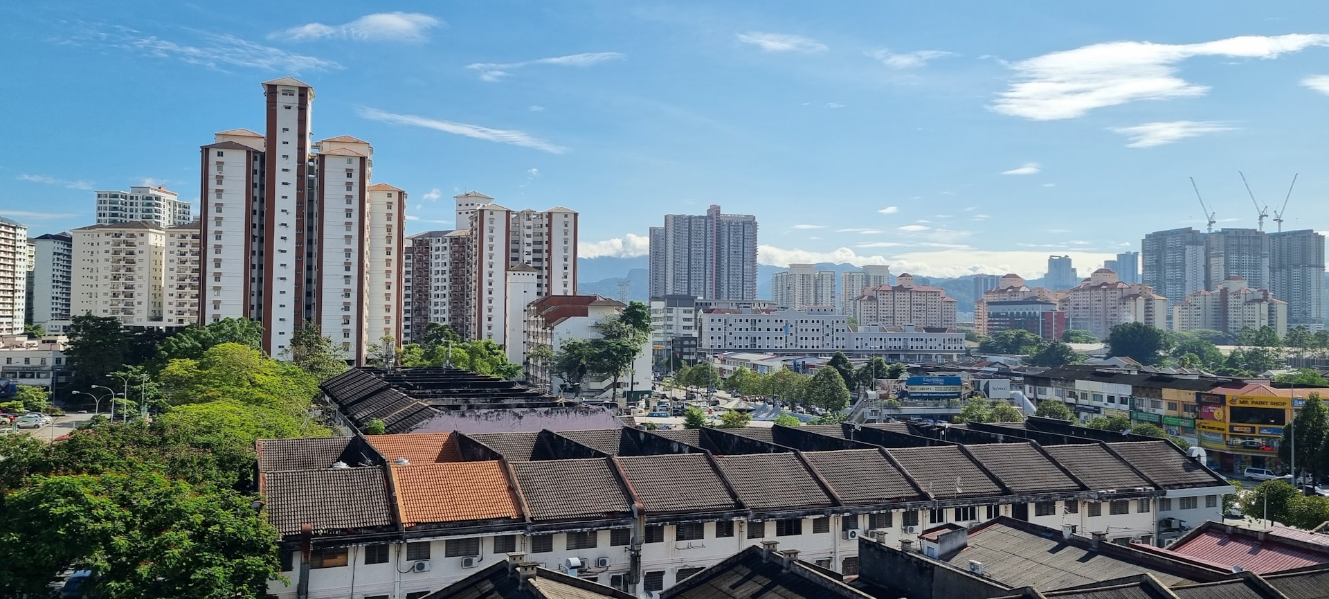
Introduction: A New Era for Urban Infrastructure Planning
Urban infrastructure planning faces immense challenges: rapid population growth, aging assets, sustainability needs, and the demand for smarter, more resilient cities. Traditional planning tools often fall short in predicting the real-world impact of new projects or changes. Enter digital twins -dynamic, data-driven virtual models that offer a powerful solution by mirroring physical urban environments in real time. This article explores the rise of digital twins in urban infrastructure planning, their benefits, real-world applications, implementation strategies, and actionable guidance for city leaders, planners, and stakeholders.
What Are Digital Twins in Urban Planning?
Digital twins are advanced, interactive virtual replicas of physical assets, systems, or entire cities. They integrate data from physical infrastructure-such as buildings, roads, utilities, and public spaces-with real-time and historical information, including sensor data, weather, and traffic flows. This creates a living model that evolves alongside its physical counterpart, allowing planners to visualize, simulate, and optimize urban environments before making costly or irreversible decisions [1] .
Key Benefits of Digital Twins in Urban Infrastructure Planning
1. Enhanced Visualization and Scenario Planning Digital twins present a unified, interactive 3D view of the entire urban ecosystem. Planners can simulate the impact of new developments-such as transportation projects, housing, or parks-on traffic, environment, and public services. By testing multiple scenarios virtually, cities reduce risk and avoid costly mistakes [3] .
2. Data-Driven Decision Making By integrating sensor and utility data, digital twins enable predictive analytics. Planners can anticipate infrastructure failures, optimize maintenance schedules, and allocate resources efficiently-resulting in cost savings and improved safety [1] .
3. Sustainability and Resilience Digital twins help cities model the environmental impact of projects, such as carbon emissions, water runoff, and green space changes. This supports climate adaptation strategies and disaster preparedness, ensuring urban environments are both sustainable and resilient [5] .
4. Improved Citizen Engagement By making digital twins accessible through public dashboards, cities foster transparency and public participation. Residents can visualize proposed changes, provide feedback, and monitor progress, ensuring projects align with community needs [3] .
Real-World Applications and Case Studies
Traffic Optimization Digital twins are transforming traffic management. By combining real-time traffic sensor data with digital models, cities can simulate interventions (like new intersections, signal timing changes, or road diets) and predict their effects on congestion, safety, and pollution. For example, dangerous intersections can be identified, and various remedies tested virtually before implementation [2] [4] .
Smart Infrastructure Management Digital twins enable continuous monitoring of critical infrastructure such as bridges, tunnels, and public transit systems. Sensor data feeds the model, helping authorities detect anomalies, predict maintenance needs, and prevent failures. This proactive approach reduces downtime and extends asset lifespans [5] .
Development Impact Assessment Before breaking ground on new projects, cities use digital twins to simulate impacts on traffic, utilities, and the environment. This supports faster, more informed permitting, reduces public opposition, and ensures long-term sustainability [3] .
How to Implement Digital Twins for Urban Planning: Step-by-Step Guidance
Step 1: Define Your Objectives Identify the main problems you wish to solve (e.g., congestion, asset monitoring, disaster resilience) and the geographic scale-single asset, neighborhood, or city-wide.
Step 2: Collect and Integrate Data Gather data sources: GIS maps, building blueprints, sensor networks, utility records, traffic cameras, and environmental data. Ensure data quality and interoperability. Many cities start with pilot projects on critical infrastructure or high-traffic corridors.
Step 3: Choose the Right Platform Consider established digital twin platforms or work with technology partners experienced in urban digital modeling. When reviewing vendors, prioritize platforms with proven municipal deployments and robust security features. If uncertain, you can search for “digital twin urban planning platforms” or consult smart city alliances for recommendations.
Step 4: Build and Validate the Model Develop an initial digital twin of your chosen area, integrating real-time data feeds where possible. Validate the model by comparing simulated outputs with actual city data, and refine iteratively.

Photo by Yue WU on Unsplash
Step 5: Simulate Scenarios and Engage Stakeholders Run simulations on future projects or policy changes. Share visualizations with city officials, developers, and the public. Gather feedback and refine plans based on insights gained.
Step 6: Scale and Maintain Once successful at a smaller scale, expand the digital twin to cover more assets or areas. Build a maintenance plan for continuous data integration, security updates, and model improvements.
Potential Challenges and Solutions
Data Silos and Integration Many cities face difficulty integrating data from disparate systems. Overcome this by standardizing data formats and developing clear data governance policies. Consider partnerships with local universities or technology consortia for expertise and resources.
Costs and Resource Constraints Initial investments in data collection, modeling, and platform deployment can be significant. Some cities secure funding through smart city grants or public-private partnerships. If budget is a concern, start with a pilot project focused on a high-impact area.
Privacy and Security Digital twins can include sensitive data. Establish strict security protocols, comply with relevant data protection laws, and anonymize data where necessary.
Alternative Approaches and Complementary Strategies
While digital twins offer powerful capabilities, not all municipalities may be ready to implement city-wide models. Alternative approaches include:
- Asset-specific digital twins : Focus on individual bridges, buildings, or utility networks for targeted improvements.
- Semi-automated GIS mapping : Use GIS tools with limited simulation capacity as a lower-cost alternative.
- Community-driven data platforms : Engage citizens in data collection and validation to supplement official sources.
Over time, these efforts can be integrated into broader digital twin initiatives as capacity grows.
Accessing Digital Twin Services and Opportunities
If your city or organization is interested in adopting digital twins for urban planning, consider the following steps:
- Research established technology providers by searching for “digital twin solutions for smart cities.” Look for companies with case studies and municipal references.
- Consult industry groups such as the Smart Cities Council or local urban planning associations for best practices and technology recommendations.
- Engage with public sector technology advisors or apply for smart city innovation grants from government agencies or international development organizations.
- For hands-on learning, explore open-source digital twin platforms or attend relevant webinars and industry conferences.
- If you work for a municipality, coordinate with your IT and urban planning departments to assess data readiness and set a digital twin roadmap.
For specific contact information or to connect with providers, you may need to visit the official websites of city governments, planning agencies, or recognized technology vendors. When searching, use terms like “digital twin urban infrastructure” or “smart city digital twin solutions.”
Key Takeaways and Future Outlook
Digital twins are rapidly transforming urban infrastructure planning by providing actionable insights, improving sustainability, and fostering greater citizen involvement. As technology advances and costs decrease, even smaller municipalities will gain access to these powerful tools. Cities that invest in digital twins today position themselves for smarter, safer, and more resilient futures.
References
- [1] techUK (2023). Sustainable Urban Planning Digital Twin.
- [2] Urban SDK (2023). Digital Twins used in Urban Planning and Infrastructure.
- [3] GovPilot (2023). The Rise of Digital Twins: How Cities Are Creating Virtual Models.
- [4] Geoversity (2023). Cities are Cloned in the Virtual World to Transform Urban Planning.
- [5] STL Digital (2024). 8 Examples of Digital Twin Applications in Smart Cities.